 PLN
PLN BRL
BRL CZK
CZK EUR
EUR EUR
EUR EUR
EUR EUR
EUR GBP
GBP RUB
RUB SEK
SEK USD
USD

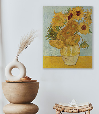


Sticker classique
Le sticker classique est imprimé sur une feuille autocollante. Grâce à nos stickers vous pourrez rapidement transformer l’apparence parfois ennuyante de vos meubles, portes, murs, vitres, laptops, ou de vos appareils électroménagers. Il est possible de découper un motif en suivant le contour – dans ce cas, veuillez nous contacter.
- ✓ Élastique et résistant
- ✓ Transformation instantanée de votre décoration d’intérieur
- ✓ Surimpression non-transparente (les éléments blancs du motif resteront visibles)
Largeur maximale des lés de stickers: 133 cm. Pour les dimensions supérieures à la largeur du matériau, les impressions seront réalisées sur plusieurs lés égaux
Utilisation recommandée: murs lisses et plats ou surfaces lisses de meubles, vitres ou appareils électroménagers
Nettoyage: chiffon humide
Finition: semi-mate

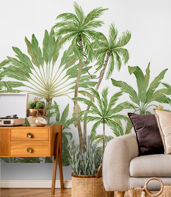
Sticker vitrail
Le sticker vitrail est imprimé sur une feuille transparente donnant un effet verre teinté . Il est recommandé pour la décoration des fenêtres, portes vitrées, meubles vitrés (armoire, buffet, table) . Le sticker vitrail pourra également venir orner les murs à la surface lisse et monochrome. Possibilité de découpage suivant le contour. A cet effet, veuillez contacter le service client.
- ✓ Décoration transparente
- ✓ Elastique et résistant
- ✓ Transformation instantanée de votre décoration d’intérieur
- ✓ Décor transparent – les éléments blancs du motif sont entièrement transparents
Largeur maximale des lés de stickers: 133 cm. Pour les dimensions supérieures à la largeur du matériau, les impressions seront réalisées sur plusieurs lés égaux
Utilisation recommandée: murs lisses et plats ou surfaces en verre ou en plexiglas
Finition: brillante
Nettoyage: chiffon humide
Option FrontStick : option supplémentaire disponible sur commande, la surface collante est préparée sur la partie imprimée. Il s’agit d’une fantastique forme décorative pour orner de l’intérieur une vitrine afin que le motif puisse être vu de l’extérieur. Si vous vous décidez pour cette option, merci de bien vouloir nous contacter. Option payante

Sticker magnétique
Le sticker aimant est imprimé sur un revêtement magnétique amovible, il peut donc être placé et déplacé librement. Il permet de décorer les surfaces métalliques (ex : appareils électroménagers, frigo) sans utiliser de colle ou de ruban adhésif. La souplesse du matériau facilite l’utilisation de cette décoration graphique
- ✓ Réutilisable
- ✓ Pose sans colle ni ruban adhésif
- ✓ Elastique et résistant
- ✓ Transformation instantanée de votre décoration d’intérieur
Largeur maximale des lés de stickers: 125 cm. Pour les dimensions supérieures à la largeur du matériau, les impressions seront réalisées sur plusieurs lés égaux
Utilisation recommandée: décoration d’appareils électroménagers, surfaces métalliques
Nettoyage: chiffon humide
Finition: semi-mate


